Abandoned - Part 2
Continued from Abandoned – Part 1, where I introduced my intrigue in the considerable amount of abandoned buildings I’ve seen in Memphis and the US, which compelled me to ponder many questions, especially, why?
Jim Crow Laws
Redlining
White Flight
Food Deserts
These are all terms and phrases I’d never heard before, until I moved to Memphis, Tennessee in December 2018. I’ve heard them infinitely more these past few weeks as the national conversation has turned from COVID to Black Lives Matter (BLM), which has also led me to procrastinate on writing this post. All of a sudden, there is more of a spotlight on what one (ie white folk) has to say about BLM – or more importantly, what one doesn’t say, and instead listens and learns, as this New York Times article writes, and many others I’ve read:
‘As a new generation steps up, activists and historians believe there’s important work to be done for white people: Listening to black voices and following rather than trying to lead, for one, and undertaking the deep introspection required to confront unconscious bias and the perks of privilege that come just from being white.’
and ‘Educate yourself before you engage.’
Who am I - a white Australian who has only lived in the US for 18 months - to write about such topics that I know so little about, and what do these issues have to do with photographs of abandoned buildings anyway? This question has been playing on my mind, and I’ve been wondering, should I still write this post? Well, I guess the answer is yes. As an observer in the US, with no political party allegiance, there are many conditions and issues that have made a clear impression on me, which may not be as apparent if I’d lived here my whole life. In this photo story, I will try to explain the deep rooted impact of the inequities listed above and the role they played in the blight of abandonment we see in Memphis and throughout the US today.
I’ll begin with Jim Crow Laws. Of course, it didn’t start there, but I think we’re all familiar the basics of slavery in the US which officially ended in 1865 following the Civil War with the passage of the 13th Amendment. Jim Crow Laws is what came next, but not just in the South, they were nationwide, with each State having differing laws. From History.com:
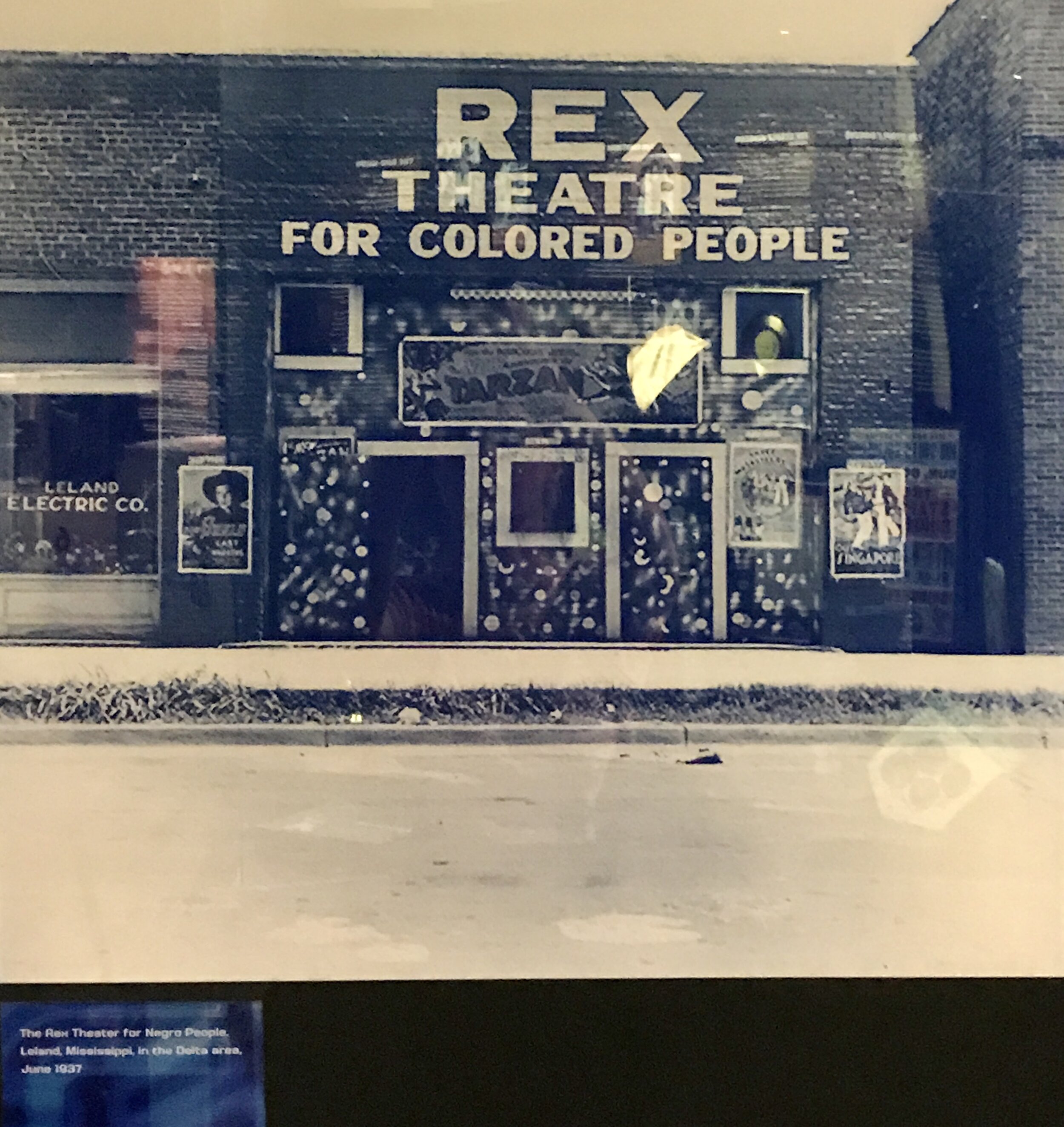
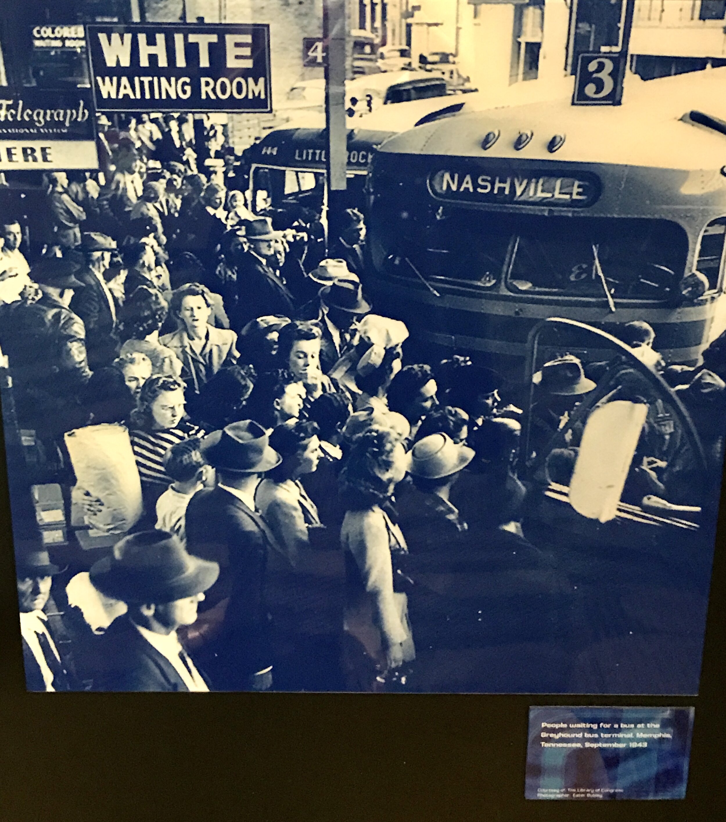
‘Jim Crow laws were a collection of state and local statutes that legalized racial segregation. Named after a black minstrel show character, the laws—which existed for about 100 years, from the post-Civil War era until 1968—were meant to marginalize African Americans by denying them the right to vote, hold jobs, get an education or other opportunities. Those who attempted to defy Jim Crow laws often faced arrest, fines, jail sentences, violence and death.’
Photo on display at the Stax Museum, Memphis
‘The State of Tennessee enacted 20 Jim Crow laws between 1866 and 1955, including six requiring school segregation, four which outlawed miscegenation, three which segregated railroads, two requiring segregation for public accommodations, and one which mandated segregation on streetcars.’
Photo on display at the Stax, Museum, Memphis
Photo of Memphis Zoo via Pinterest
Then along with these segregation laws, comes Redlining, operational from the 1930s through to the 1960s. From Dictionary.com:
’Redlining is a discriminatory practice by which banks, insurance companies, etc., refuse or limit loans, mortgages, insurance, etc., within specific geographic areas, especially inner-city neighborhoods.’
Or as this Investopedia article explains:
‘The term “redlining” was coined by sociologist James McKnight in the 1960s and derives from how lenders would literally draw a red line on a map around the neighborhoods they would not invest in based on demographics alone. Black inner-city neighborhoods were most likely to be redlined. Investigations found that lenders would make loans to lower-income whites but not to middle- or upper-income African Americans.
Indeed, in the 1930s the federal government began redlining real estate, marking “risky” neighborhoods for federal mortgage loans on the basis of race. The result of this redlining in real estate could still be felt decades later. In 1997 homes in the redlined neighborhoods were worth less than half that of the homes in what the government had deemed as “best” for mortgage lending, and that disparity has only grown greater in the last two decades.’
This informative video on Housing Segregation and Redlining in America: A Short History | NPR explains it and is well worth watching if you want a greater understanding:
And this is a map of Redlining in Memphis in 1930s by the Home Owners’ Loan Corporation (from the National Archives and Records Administration):
Redlining in Memphis in 1930:
A Green = Best, B Blue = Still desirable, C Yellow = Definitely declining, D Red = Hazardous
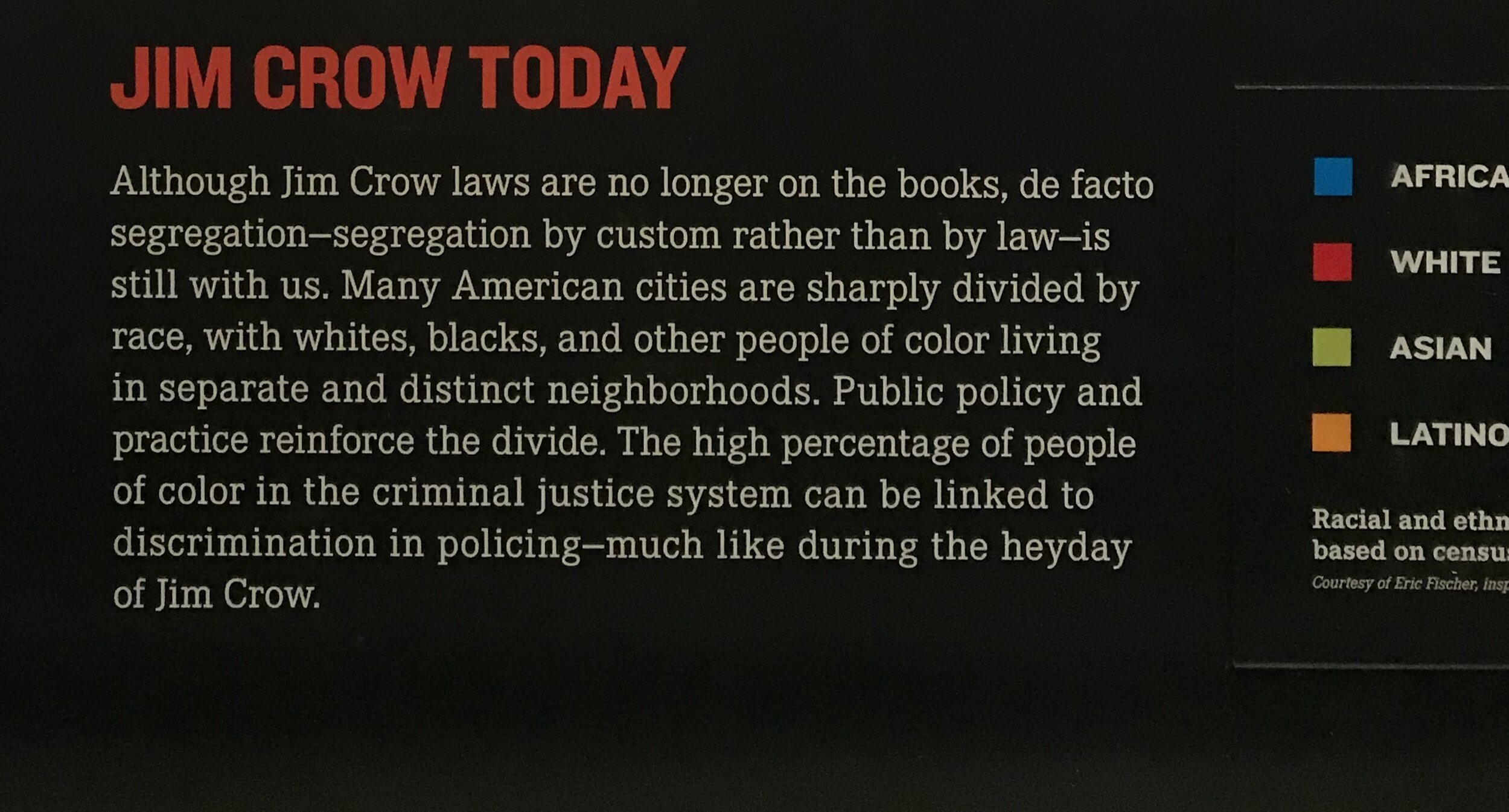
When last year I saw the photograph below - Racial and ethnic dispersion in Memphis in 2010 - at the National Civil Rights Museum, it confirmed to me what I had observed about the current segregation of Memphis. I thought it was just a continuation on the segregation that existed during Jim Crow time, but hearing about and understanding Redlining was another piece of the puzzle for me. You can clearly see a correlation between the Redlining image above, and the image below.
From the Civil Right’s Museum in Memphis. ‘Racial and ethnic dispersion in US cities , based on census data from 2010.’
These are also two articles written by Highground News Memphis in 2019 specifically exploring how race built the city of Memphis:
‘First, we examine a redlining map from 1930s that government agencies and lenders used to facilitate discriminatory housing policies that kept Black families and neighborhoods from thriving. Part two dives deeper into the Opportunity Home Loan Fund and other efforts by South Memphis CDC The Works Inc. to bring investment back to Memphis' disinvested and historically Black communities.’
Seeing Red 1: Mapping 90 years of redlining in Memphis
With this paragraph jumping out at me:
‘Across the Memphis metro area, the poverty rate for Black Memphians is an estimated 24.5 percent compared to 8.1 for white Memphians. Despite an estimated 13,000 to 15,000 vacant houses in the city, Black homeownership dropped 18 percent from 2005 to 2017, putting Memphis in the top third of declining cities in the U.S.’ And ‘not all families with means left their yellow or redlined neighborhoods, but the vacant homes and lots in Memphis are a result of the flight of the middle class.’
While the practice was almost universal before 1968, the Civil Rights Act passed that year theoretically outlawed redlining. Nonetheless its impact was felt long after that date.
And this, from Blackpast.org on Redlining, explaining further reasons behind the abandonment of buildings:
‘As a consequence of redlining, neighborhoods that local banks deemed unfit for investment were left underdeveloped or in disrepair. Attempts to improve these neighborhoods with even relatively small-scale business ventures were commonly obstructed by financial institutions that continued to label the underwriting as too risky or simply rejected them outright. When existing businesses collapsed, new ones were not allowed to replace them, often leaving entire blocks empty and crumbling. Consequently African Americans in those neighborhoods were frequently limited in their access to banking, healthcare, retail merchandise, and even groceries. One notable exception to this was (and still is) the proliferation of liquor stores and bars which seemingly transcended the area’s stigma of financial risk.’
Photo kindly provided by Richard Lawrence, see Instagram @sundayinmemphis
Photo kindly provided by Richard Lawrence, see Instagram @sundayinmemphis
Also in Memphis, in addition to Jim Crow Laws and Redlining, the city became known for the Sanitation Strike of 1968 which brought Martin Luther King to Memphis, and subsequently his death.
National Guard troops lined Beale Street during a protest on March 29 , 1968. (Bettmman Collection / Getty Images)
With the dismantling of segregation throughout the US, the term White Flight was coined, explained here:
‘White flight is the term used to describe how the white middle class left the inner cities to live in the suburbs. This happened in the 1950s - 70s after the segregation laws changed in our country. As a result, many of the buildings became condemned and jobs in the inner city left. Property values declined and tax revenue in the city declined. Many of the city services and social programs were then cut. This left the inner city and the people that lived there in a horrible condition.’
Not long after I arrived, I had a conversation with a school Mum about this exact topic. Her family were living in a suburb close to downtown Memphis, but as it became more racially diverse, they moved further out to the suburbs where it was supposedly safer.
I came across this 2013 article Murder, Mayhem and Memphis: Lessons From My White Neighbor About Blacks which I found interesting, and it added another dimension to my observations.
Finally, I’ve learnt about Food Deserts. As explained on the Food Empowerment website:
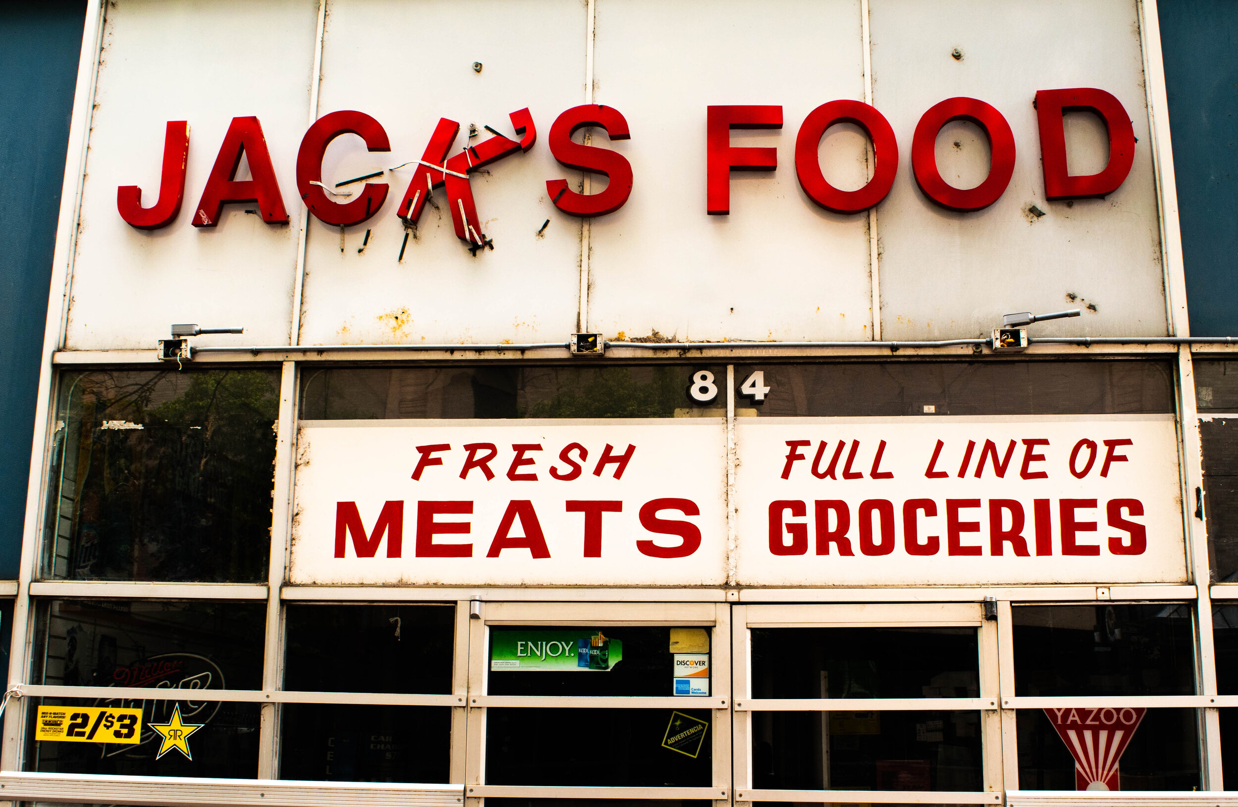
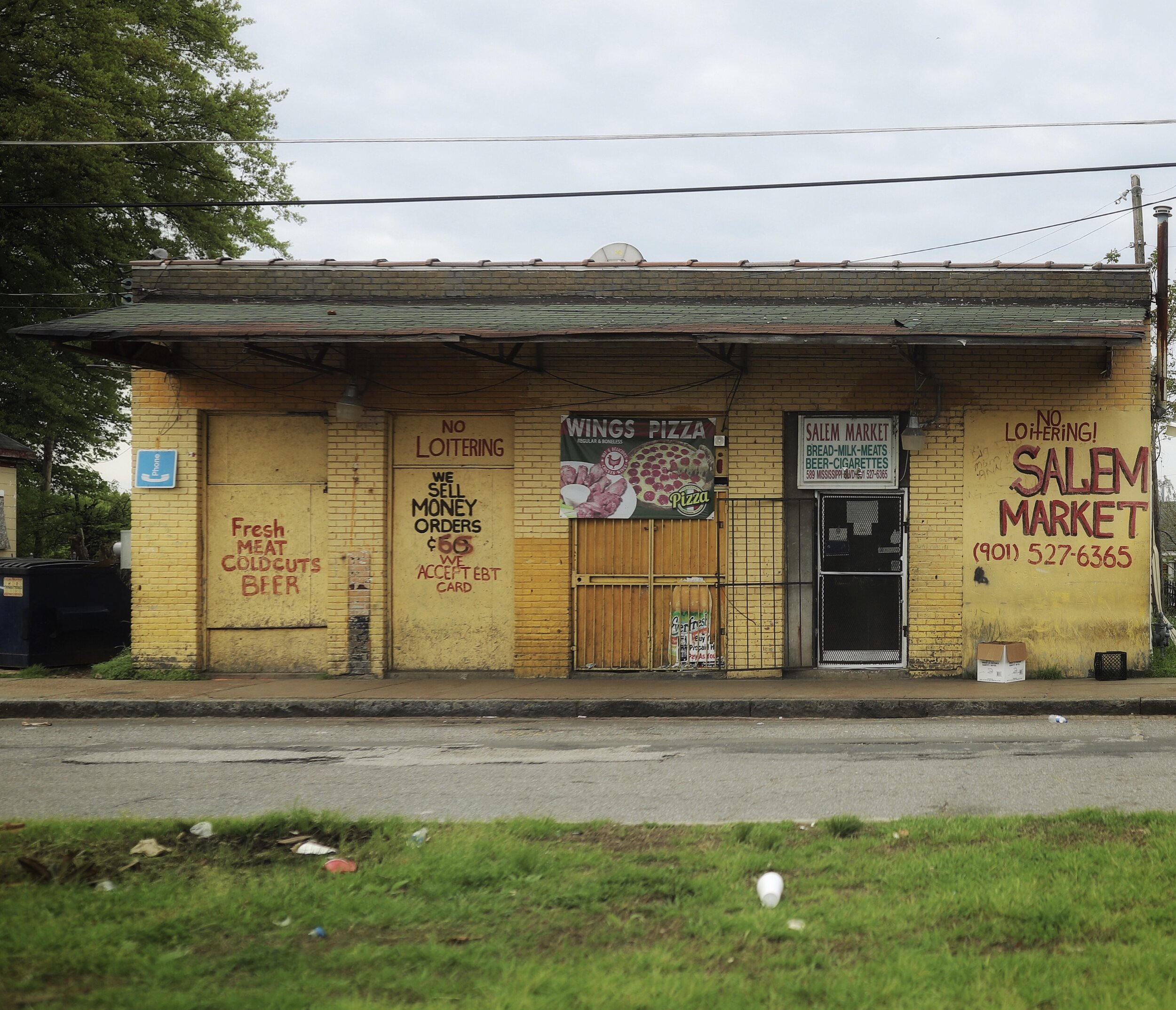
‘Food deserts can be described as geographic areas where residents’ access to affordable, healthy food options (especially fresh fruits and vegetables) is restricted or nonexistent due to the absence of grocery stores within convenient travelling distance. They are most commonly found in black and brown communities and low-income areas (where many people don’t have cars). Studies have found that wealthy districts have three times as many supermarkets as poor ones do, that white neighborhoods contain an average of four times as many supermarkets as predominantly black ones do, and that grocery stores in African-American communities are usually smaller with less selection.’ As you can see below - typical grocery stores in the poorer districts of Memphis:
Photo kindly provided by Richard Lawrence, see Instagram @sundayinmemphis
Photo kindly provided by Richard Lawrence, see Instagram @sundayinmemphis
Photo kindly provided by Richard Lawrence, see Instagram @sundayinmemphis
The following excellent video on food deserts in Memphis is also well worth watching, even if it’s just for the first few minutes:
‘In the 'food deserts' of Memphis, Tennessee, dominated by fast food outlets and convenience stores, locals lack what seems a basic human right in the richer half of the city: a supermarket. With a big gap in life expectancy, are these Americans doomed to die younger than their neighbours – or can they fight for their right to nutrition?’
So how does all of this lead to the abandonment of buildings that has intrigued me and led me to writing this Adandoned Series? Well, it’s all interrelated, with one issue leading to the next, then the next, and so on, until you end up with a scenario like the Memphis I’ve observed – a tapestry of elegant, Southern homes on one street, juxtaposed with dilapidated, cramped houses just around the corner, and abandoned buildings downtown as business moved to the suburbs. This seems to be a scenario that is echoed throughout the US.
The following, that was printed in ‘The American Prospect’ in the article titled Battling Blight in Memphis pretty much sums up my initial thoughts on this blight when I arrived:
In 2012, New Horizon Apartments, located midway between Elvis Presley's Graceland and Memphis International Airport, had a major problem. The recently renovated complex was wedged between two burned-out buildings that were often targeted by vandals. But these kinds of contradictions are built into the cityscape. “Memphis is like a checkerboard: One street over, it's horrible blight and the next street it's just the nicest neighborhood you've ever been in,” says Ryan Poe, a life-long Memphis resident who writes for The Commercial Appeal, the city's daily newspaper. “Growing up in Memphis, blight is a daily sight, and you know, you're used to it.” Yet the checkerboard quality of blight erodes the quality of life in a neighborhood, depresses property values, and frustrates residents.
Following are some photos I’ve taken around Memphis, and a little bit of history - a small snapshot of the abandonment throughout this fascinating city.
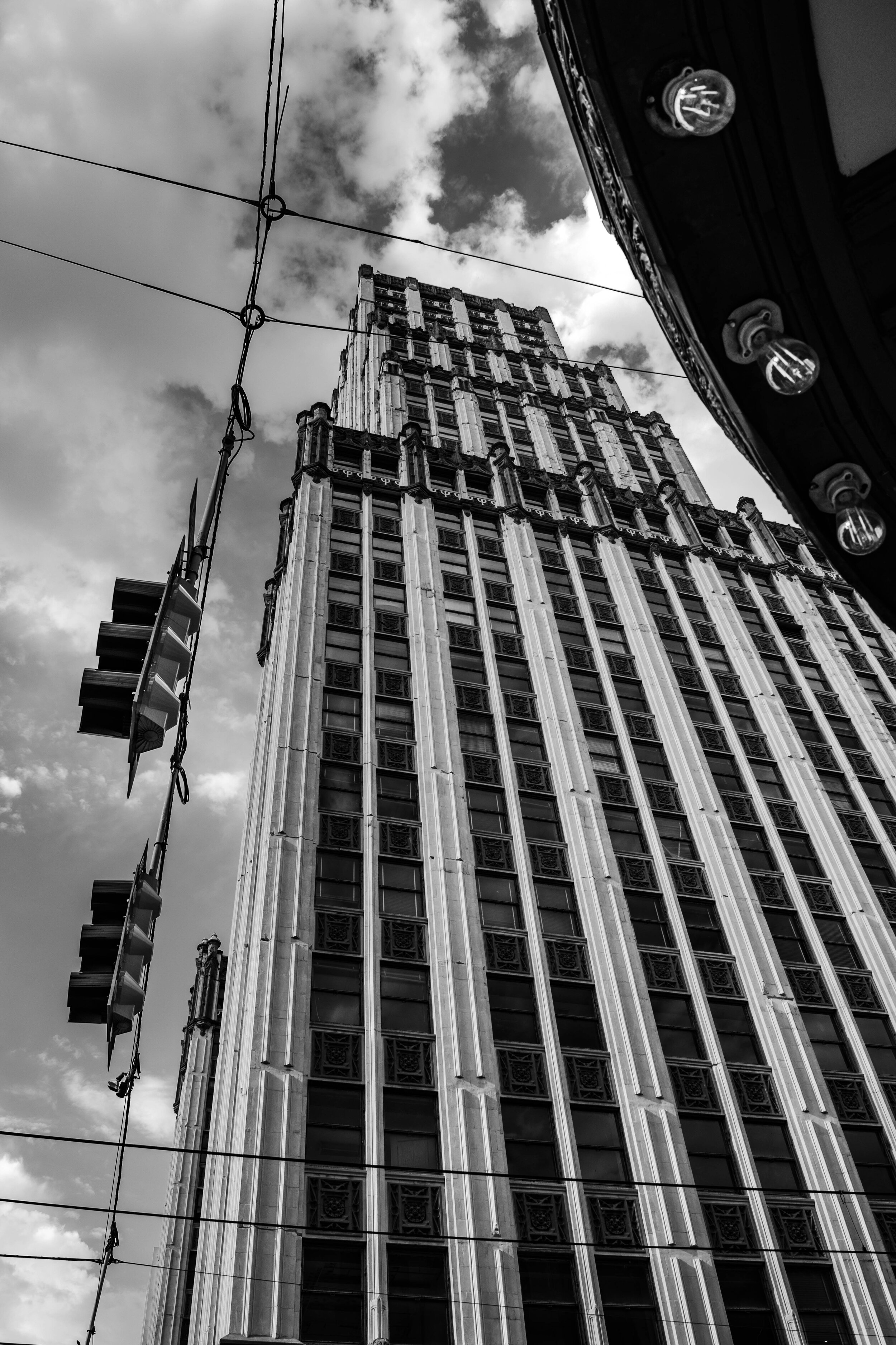
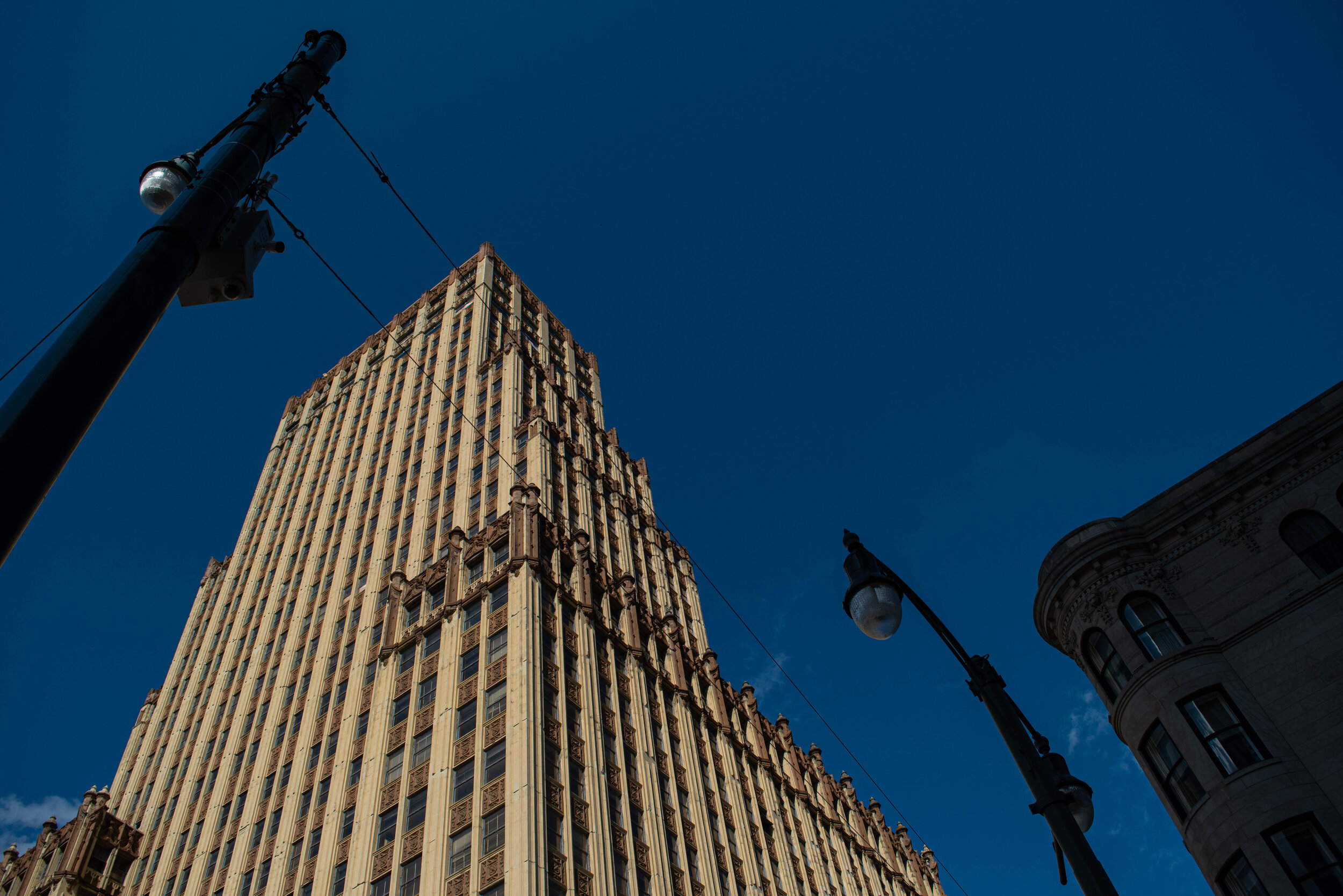
The Sterick Building
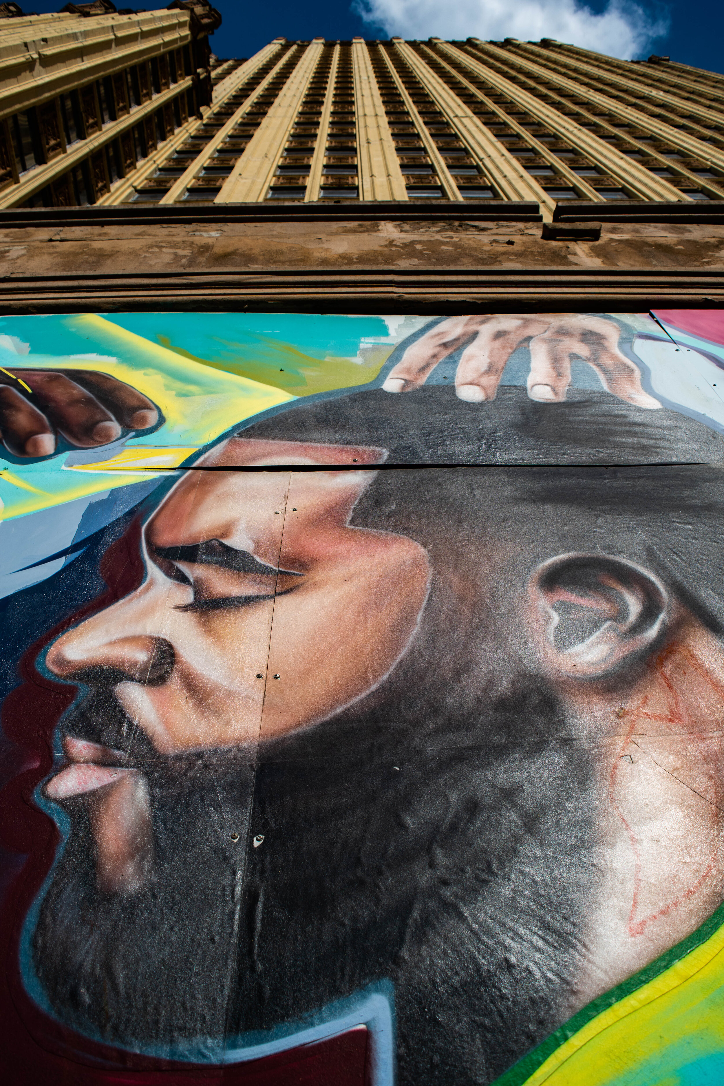
Magificent was my first thought on this stunning building, but then I wondered why it was boarded up. It couldn’t be abandoned I thought, surely not… but as I soon learnt, the abandonment was all over the city. ‘At least the boards are impressive’ I thought - they’re pieces are art in themselves!
‘The flaking paint and dirty windows don’t give a clue that this skyscraper was once called “the Queen of Memphis.” But when the 29-story Sterick Building opened in 1930, it was not only the tallest building in the South (and the tallest building in Tennessee until 1957), it was called “the most complex, the most fabulous building in Memphis.”
It was designed by Wyatt C. Hedrick & Co., and is a gothic-style tower, 111 m (365 ft) tall. Named for the first owners, Texans R.E. Sterling and Wyatt Hedrick, the Sterick was a gem, a gleaming white stone spire topped with a green tile roof. The first three floors were crafted of granite and limestone, and newspapers said the lobby “rivals the beauty of a Moorish castle.” The Gothic-style showplace housed more than 2,000 workers, and had its own barber shop, bank, pharmacy, stockbroker’s offices, and beauty parlor. Eight high-speed elevators whisked passengers up to the Regency Room restaurant on the top floor.
The building began to decline in the 1960s as did much of the rest of downtown. One by one, tenants moved out, and the building went through a series of absentee owners. Despite a number of alterations (including being repainted in the mid-1980s from its original white and green to yellow and tan), it has been left vacant since the 1980s.
Today the Sterick is completely abandoned and has been unseen inside since 1987 except for the homeless seeking shelter and the occasional daring urban explorer, most of whom consider Sterick to be the crown jewel of Memphis exploration.’ From Mall of Memphis. There was talk in 2018 of the building being converted to a Lowe’s Hotel…..I guess we’ll have to see.
Murals now painted at the base of the Sterick Building, by Kyle Taylor @kyletaylorart in collaboration with Brandon Donohue and Brandon Marshall
and just across the road, the Third and Madison Building:
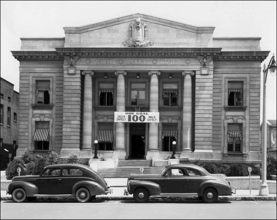
Memphis Police Station
‘Built in 1911 in a neo-classical style reminiscent of the nearby Shelby County Courthouse. The structure was built on the site of an older police headquarters buildings. There was a rock pile behind the previous station where offenders worked making small rocks out of big rocks.’ Source: Historic Memphis.
‘Memphis Central Police Station continued its operations until it closed in 1982. Financial concerns and overcrowding caused the headquarters to close, and move to the present location on 201 Poplar. It would have cost the city $40,000,000 to renovate it, whereas abandoning it only cost them around $3,000 a month. For over 30 years (now almost 40) it has sat dormant, its interior facade slowly succumbing to the elements and time.’ Source: Art of Abandonment. The building has been sold to new owners and there are plans for it to be converted into a boutique hotel.
Memphis Central Police Station in 2020, taken by myself
Photo taken by Walter Arnold in recent years
In its hey day. Photo via the Memphis Police archives
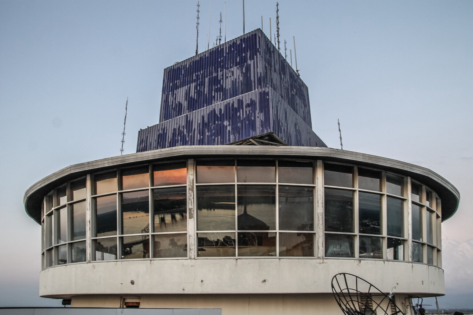
100 North Main
Another large, iconic Memphis building that is abandoned, and this one even has a revolving restaurant with some of the best views of the city and the Mississippi River! ‘At 430 feet, the iconic One Hundred North Main office tower is the tallest building in Memphis, Tennessee. The building was completed in 1965, after two years of construction. The tower stands 38 stories with a rooftop revolving restaurant and a Japanese rock garden.’ Source: Abandoned Southeast (see the website for some more fantastic photos inside this building and the full history). The building was completely vacated by 2014 and there seems to be plans in the pipeline for another hotel.
100 North Main in 2019, taken by myself (you can just see the revolving restaurant edging its way out at the top)
In 2020, taken by myself
In 2020 taken by myself
100 North Main Revolving Restaurant -photo via Abandoned Southeast
100 North Main Revolving Restaurant -photo via Abandoned Southeast
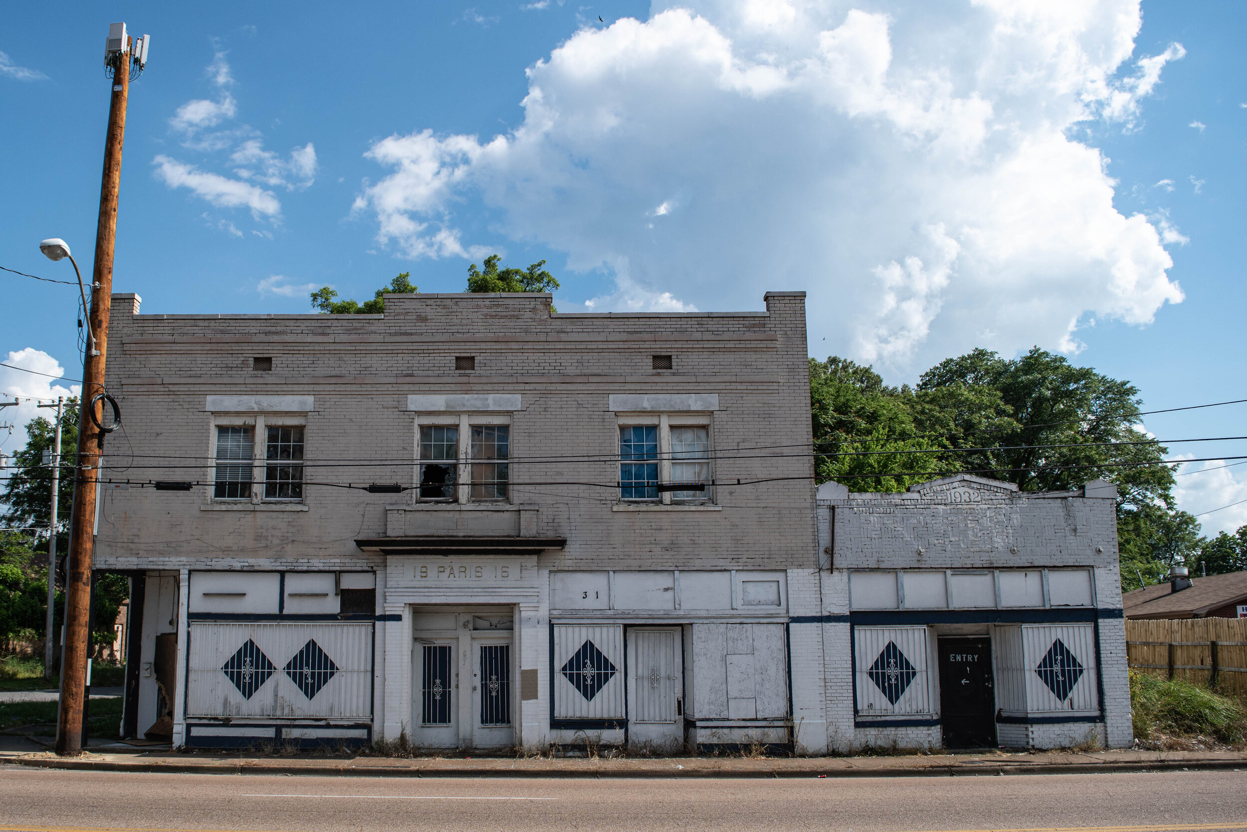
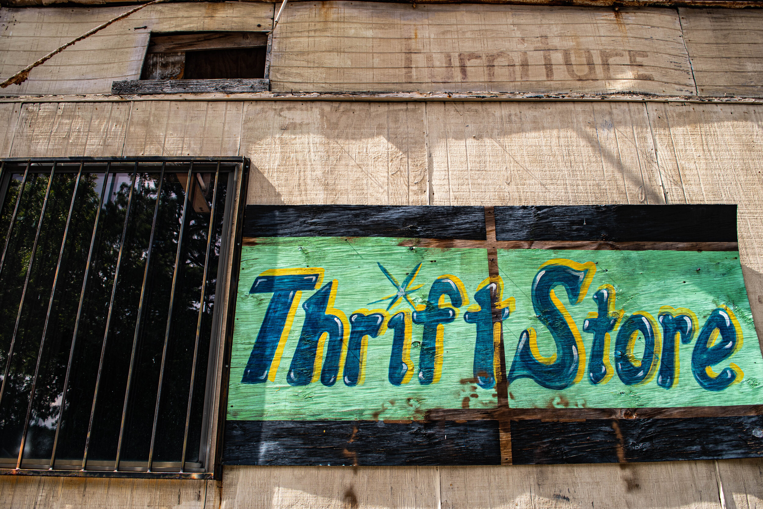
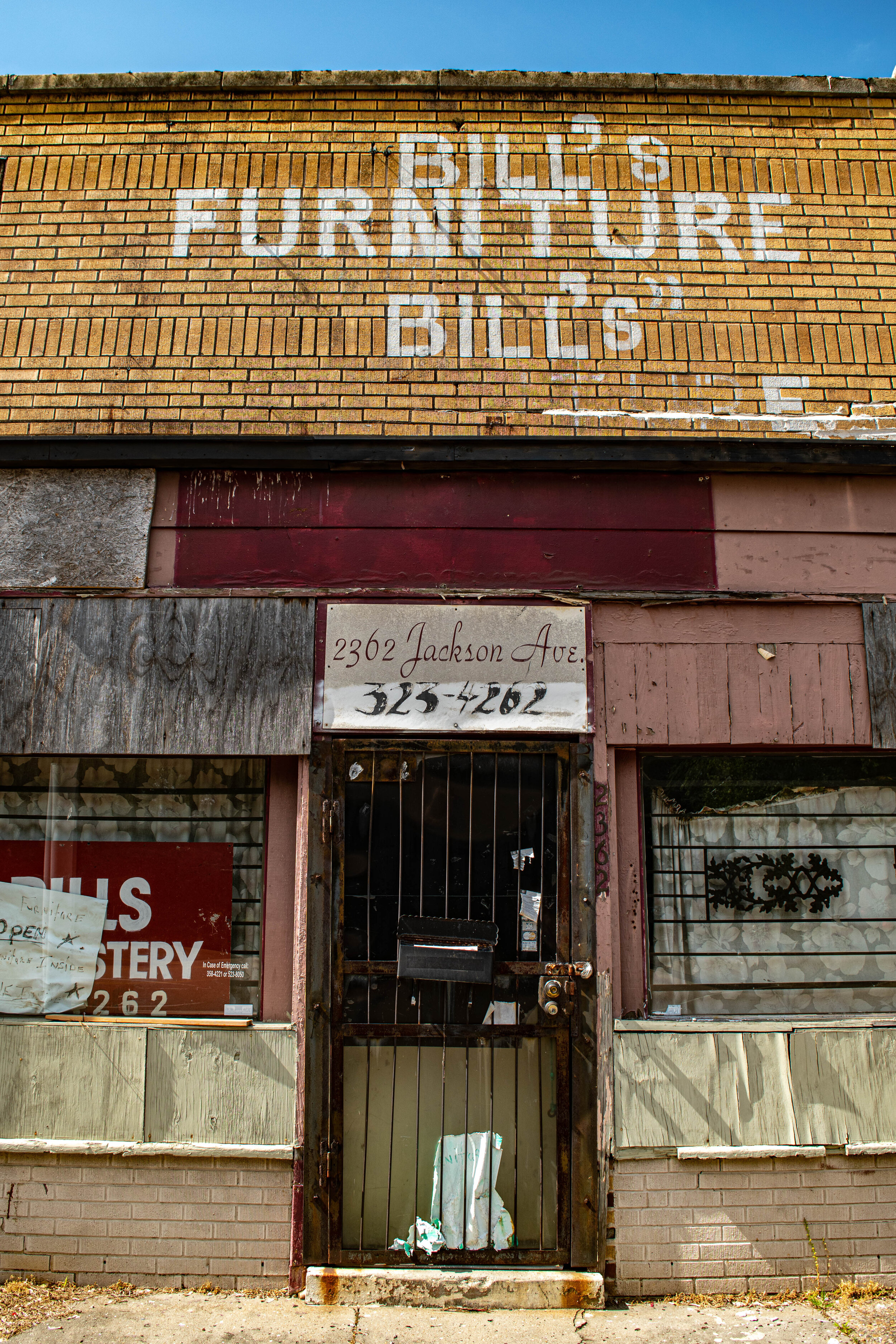
Following are some random photos I’ve taken around Memphis - some downtown, some in the suburbs. They’re but a tiny snapshot of the abandonment I’ve seen in my time here:
Despite the blight in parts of Memphis due to the abandonment, it’s actually a really exciting time to be living in the city. In the last few years Memphis seems to be experiencing a renaissance of sorts. Just in my time here I’ve seen the fantastic Central Station Hotel come to life, the Convention Centre is soon to reopen after a $200 million upgrade, and I’ve experienced the innovative restoration of the old Sears Building into what is now known as the Crosstown Concourse. There are also many other projects currently in development, a future blog post will be in order I think!
Memphis has A LOT to offer from a tourism perspective - from music, to BBQ, to Festivals, to Elvis to name a few. Memphis Travel may not appreciate me writing about the blight of Memphis but, I think it’s what adds to the soul of the city and makes it such an interesting place to both visit and live in. Learning about its checkered history has seemed to tether me to the city even more, and each time I come across another peeling layer of history, I feel enveloped in the mystery and intrigue of this fabulous, deep, gritty city.
Learning about Jim Crow Laws, Redlining, White Flight and Food Bowls has given me a much richer understanding of why the abandonment of buildings exists in Memphis, and also throughout the whole of the US. But perhaps more importantly, particularly in this current climate, its given me a far greater insight into the plight of people of colour.
Further resources:
Memphis Heritage: http://www.memphisheritage.org
Abandoned Southeast: https://abandonedsoutheast.com
Historic Memphis: https://historic-memphis.com
Pink Palace Memphis Museum, Systemic Racism and History : https://www.memphismuseums.org/museum-to-go/a-closer-look/ (I discovered this after I had written this post and it seems to be a thorough article on important Memphis history from slavery, lynchings, migration, public housing, property, integration, policing and others topics - including the information that ‘during the 1850s, Memphis was the site of the largest inland slave market in the Southeast.’)
Rachel Cargle: https://www.rachelcargle.com, Instagram @Rachel.cargle - ‘Building an intellectual legacy through teaching, storytelling & critical discourse’ - Rachel has a link on her Instagram bio with a Community Book list of hundreds of educational books on BLM, along with a huge amount of resources she has written, and links to other resources.
Top 5 Misconceptions of The 2020 Black Lives Matter Movement by GUAP UK https://guap.co.uk/blog/2020/06/23/the-2020-black-lives-matter/ (interesting to hear a UK voice)
Richard Lawrence Photography: Instagram @sundayinmemphis
Christina Day Photography: https://www.christinadayphotography.com/about , Instagram @christinadayphotography
In my next Abandoned Series post, I explore some of the abandonment of the Mississippi Delta and take you on a little journey of the Blues Trail.
*all photos my own unless specified
